 Enter eBay Number: Advanced Search
Register / Password Lost?
By Country |
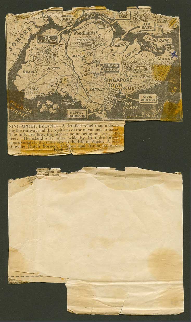
Singapore Island MAP Vintage Old Newspaper Cut-out Naval Air Base Airport JohoreVintage Old Newspaper Cut-out of Singapore Island MAP, showing Naval Base, Air Base, Civil Airport, Johore, The Causeway, Rubber Plantation, Rajau Jurong, Tuas, Swamp, Pasir Panjang, Malacca Strait, Keppel Harbour, Pulau Ubin, Woodlands, Strait of Johore, Johore Bahru, Mandai, Sembawang, R. Seletar, Punggol, Mt. Vernon. Tanglin. Island Reservoirs, Ulu Kalang, Government Offices. China Sea, etc.Singapore Island - A detailed relief map indicating the railway and the positions of the naval and air bases. The hills are low, the highest point being not over 500 feet. The island is 27 miles wide by 44 miles broad, approximately the same size as the Isle of Wight. A map showing Dutch Borneo, Celebes and Amboyna on back ... Faults: Tears, creases, wear and marks

|
|||||||||||||||
 Newly added items