
Enter eBay Number:

Advanced Search

Email:
Password:

Register / Password Lost?

Newly added items

By Country
Africa
Asia
Caribbean
Central America
Europe
Great Britain
Middle East
North America
Oceania
South America
Thematics

By Type
Postcards
Stamps
Covers
Postal Stationery
FDCs
All Types

eBay Shop
Contact us
Payment & Postage
Postage Combiner Tool
Email Alert

Item ID: 209205  
  

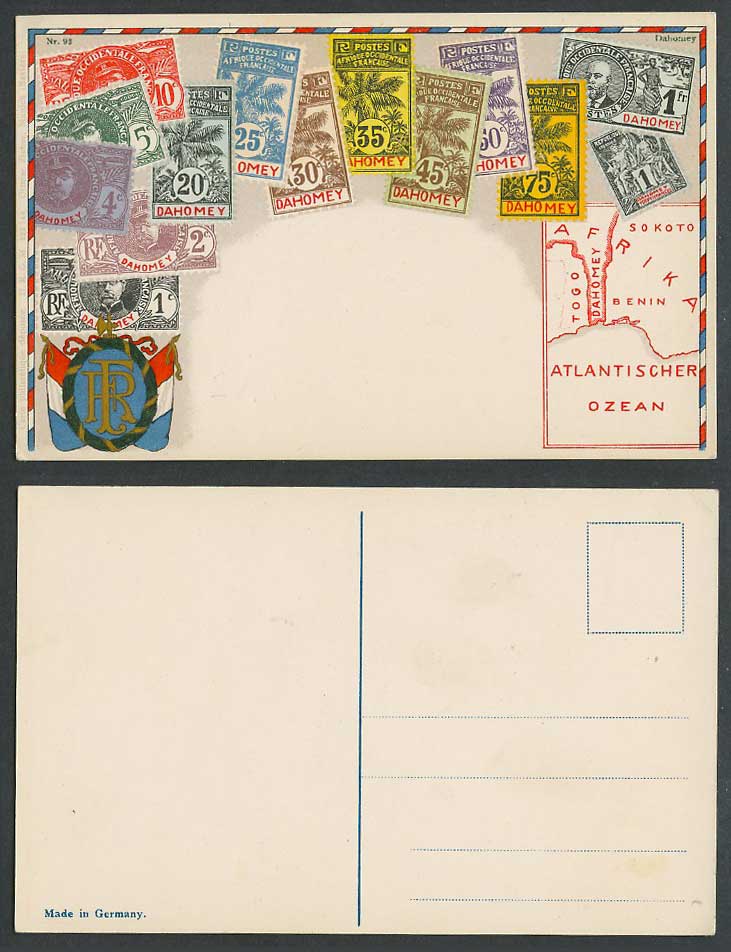
Dahomey MAP Vintage Stamps Illustr. Coat of Arms Flag Ottmar Zieher Old Postcard

Vintage Colour Old Picture Postcard. Stamp Card. Dahomey Africa. Coat of Arms, Illustrated Vintage Montage Stamps 1fr, 75c, 50c, 45c, 35c, 30c, 25c, 20c, 10c, 5c, 4c, 2c, 1c, Illustration on Postcard. Map showing Africa, Afrika Sokoto, Togo, Dahomey, Benin, Atlantischer Ozean.

Publisher: D.R.G.M. Ottmar Zieher Munchen Baviere Made in Germany
Series No: 222744 93
Background: Dahomey (Benin since 1960), was located between British Nigeria and German Togo along what Europeans called the "Slave Coast." (West Africa). French merchants began to trade there in the 17th century.

Item sold.

You can either request an email alert for similar items, browse in our stock or search our stock.
Dahomey MAP Vintage Stamps Illustr. Coat of Arms Flag Ottmar Zieher Old Postcard


Browse in related categories:

Postcards > Africa
Postcards > Flags
Postcards > Stamps
Postcards > Africa > Dahomey
Postcards > Africa > Togo
Postcards > Coat Of Arms